Footprint
The Dales Way | A footprint map-guide to the 79 mile route between Ilkley & Bowness-on-Windermere
The Dales Way A footprint map-guide to the 79 mile route between Ilkley & Bowness-on-Windermere The Dales Way is a 79 mile (127km) long distance trail in the north of England, running betwee..
€9.50 Ex Tax: €8.37
Coast to Coast Walk | Part 1 - West | St Bees to Swaledale
Coast to Coast Walk Part 1 - West | St Bees to Swaledale A 184 mile walk across Northern England, from St Bees on the west coast to Robin Hood's Bay on the east coast. The complete map/guid..
€9.50 Ex Tax: €8.37
Coast to Coast Walk | Part 2 - East | Swaledale to Robin Hood's Bay
Coast to Coast Walk Part 2 - East | Swaledale to Robin Hood's Bay A 184 mile walk across Northern England, from St Bees on the west coast to Robin Hood's Bay on the east coast. The complete..
€9.50 Ex Tax: €8.37
Hadrian's Wall Path | National Trail
Hadrian's Wall Path National Trail Hadrian's Wall Path - this popular long-distance route runs for 86 miles between Bowness-on-Solway on the Cumbrian coast, and Wallsend on Tyneside. It passes thr..
€9.50 Ex Tax: €8.37
The Cateran Trail
The Cateran Trail Blairgowrie - Strathardle - Glen Shee - Glen Isla - Alyth The Cateran Trail is a circular waymarked walk which runs from the town of Blairgowrie for 64 miles (103km) through th..
€9.50 Ex Tax: €8.37
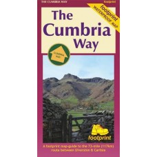
The Cumbria Way
The Cumbria Way The Cumbria Way is a 73 mile (117km) trail through some of the English Lake District's finest scenery. It generally follows well maintained paths and tracks between Ulverston and Ca..
€11.95 Ex Tax: €10.53
The Fife Coastal Path
The Fife Coastal Path This footprint map of The Fife Coastal Path is laid out in eight sections, and is easily refolded to show a particular part of the route. Printed on waterproof paper, it st..
€11.97 Ex Tax: €10.55
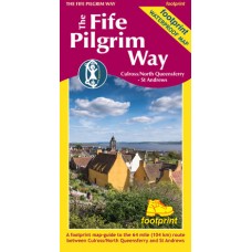
The Fife Pilgrim Way
The Fife Pilgrim Way Culross/North Queensferry - St Andrews A footprint map-guide to the 64 mile (104 km) route between Culross/North Queensferry and St Andrews The Fife Pilgrim Way is a full..
€11.97 Ex Tax: €10.55
The Great Glen Way | Fort William to Inverness
The Great Glen Way Fort William to Inverness A Footprint map-guide to the 95 mile (153km) route between Milngavie & Fort William. A 1:40,000 scale map based on OS data, printed on waterproof p..
€11.95 Ex Tax: €10.53
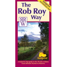
The Rob Roy Way
The Rob Roy Way The Rob Roy Way is a 79 mile (126km) trail between Drymen and Pitlochry. It follows well maintained paths and tracks through some of Scotland's finest scenery. It links many areas a..
€11.95 Ex Tax: €10.53
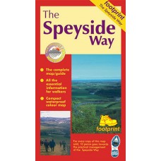
The Speyside Way
The Speyside Way The Speyside Way is one of 'Scotland's Great Trails'. It runs between Aviemore, at the heart of Strathspey, 66 miles to Buckie, on the Moray Firth. The route passes through some of..
€9.50 Ex Tax: €8.37
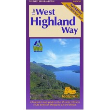
The West Highland Way
The West Highland Way The West Highland Way is Scotland's first and most popular long distance route. It runs from Milngavie, on the northern outskirts of Glasgow, 95 miles (153 km) to the capital ..
€11.95 Ex Tax: €10.53


